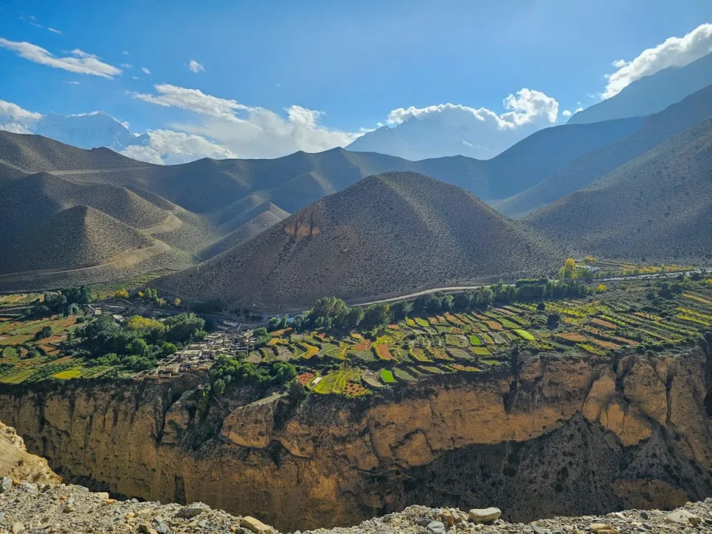
The Old Kingdom of Mustang, Nepal: Upper and Lower
Mustang is a district in north central Nepal. It was a kingdom in its own right until 1950, and it is split in two by law. Lower Mustang is open.…
 Pawan Bhattarai
Updated on
Upper Mustang is the restricted half of Mustang district, north of Kagbeni, and it needs a permit costing USD 50 per person per day on top of the ordinary conservation permit. The short answer on whether to walk it: a road now runs the whole way to Lo Manthang, so walking is a choice rather than the only option.
That is the single biggest change to Upper Mustang in thirty years, and most guides still describe the trek as though it had not happened.
Who this guide is for: travellers deciding whether Upper Mustang is worth the permit and the time, and anyone trying to work out what the road has left of the walk. For the wider region, including Lower Mustang and the seasons, start with our guide to Mustang, Nepal.
In short, Upper Mustang is a legal boundary rather than a geographic one. The restricted zone is drawn at ward level, and it begins north of Kagbeni. Everything south of it, including Jomsom, Marpha and Muktinath, is ordinary Annapurna Conservation Area and needs no special permit.
The zone covers all of wards 1 to 5 of Lomanthang Rural Municipality, all of wards 1 to 5 of Lo-Ghekar Damodarkunda Rural Municipality, and ward 3 plus Satang village of ward 5 in Baragung Muktichetra Rural Municipality.
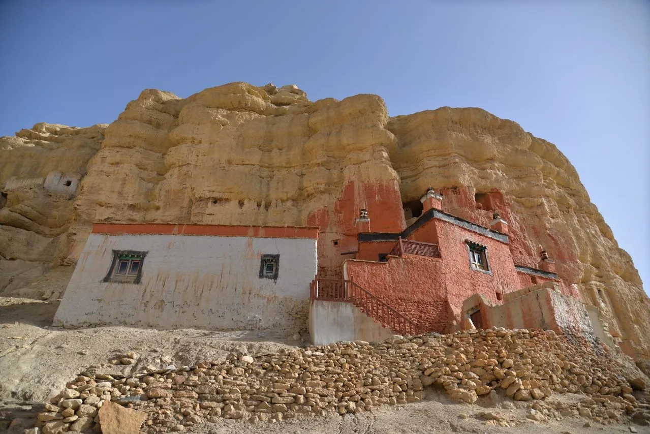
Inside it sits Lo Manthang, the walled capital of what was a separate kingdom within Nepal’s borders until 1950. The Nepal Tourism Board dates the opening to non-Nepali trekkers to 1994.
The short answer is two permits, not one. The restricted area permit runs at USD 50 or equivalent per person per day, issued by the Department of Immigration at Kalikasthan in Kathmandu. On top of that, everyone entering the Annapurna Conservation Area needs the conservation permit, which the National Trust for Nature Conservation sets at NRs 3,000 for foreign nationals and NRs 1,000 for SAARC nationals.
Three conditions travel with the restricted permit. None of them are optional:
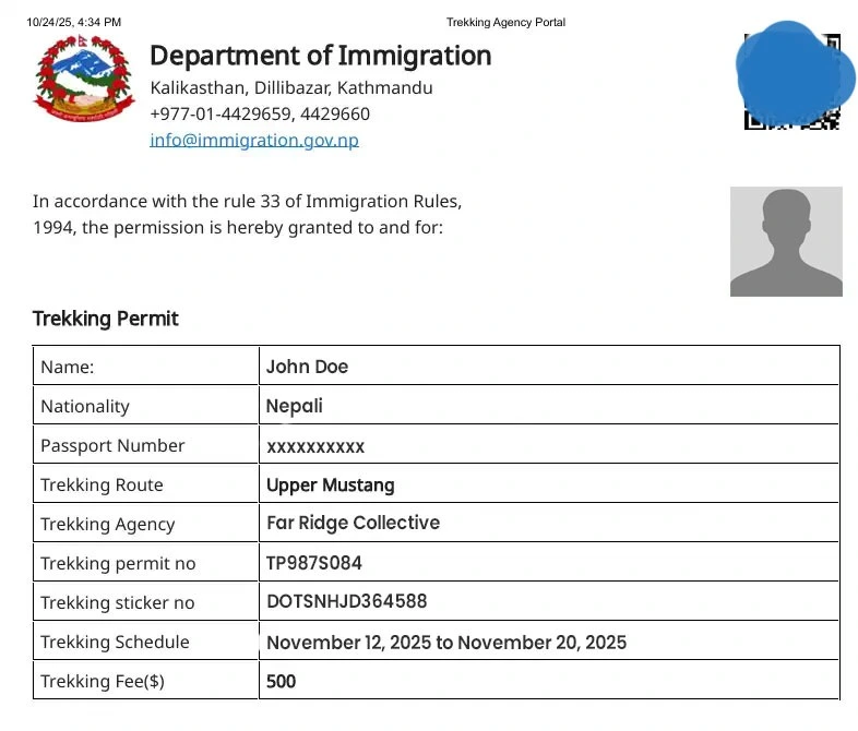
The daily rate is the part people misjudge. It runs for every day inside the zone, so the walking decision and the permit cost are the same decision. Our guide to Nepal trekking permits covers the wider system, including the conservation permit and the guide rule.
The Kali Gandaki corridor now runs 445 kilometres from Nawalpur to Korala on the Chinese border, through Mustang district, with roughly 250 kilometres blacktopped and the rest gravel. It was designated a National Pride Project in 2010.
The effect on Upper Mustang is not subtle. The Kathmandu Post reported in May 2025 that Lo Manthang to Pokhara, once six days on foot, is now a single day by vehicle.
| Journey | Before the road | Now |
|---|---|---|
| Pokhara to Lo Manthang | Six days walking | One day by vehicle |
| Kagbeni to Lo Manthang | Three to four days walking | Half a day by vehicle |
| Road surface | Trail only | 445km corridor, about 250km blacktopped |
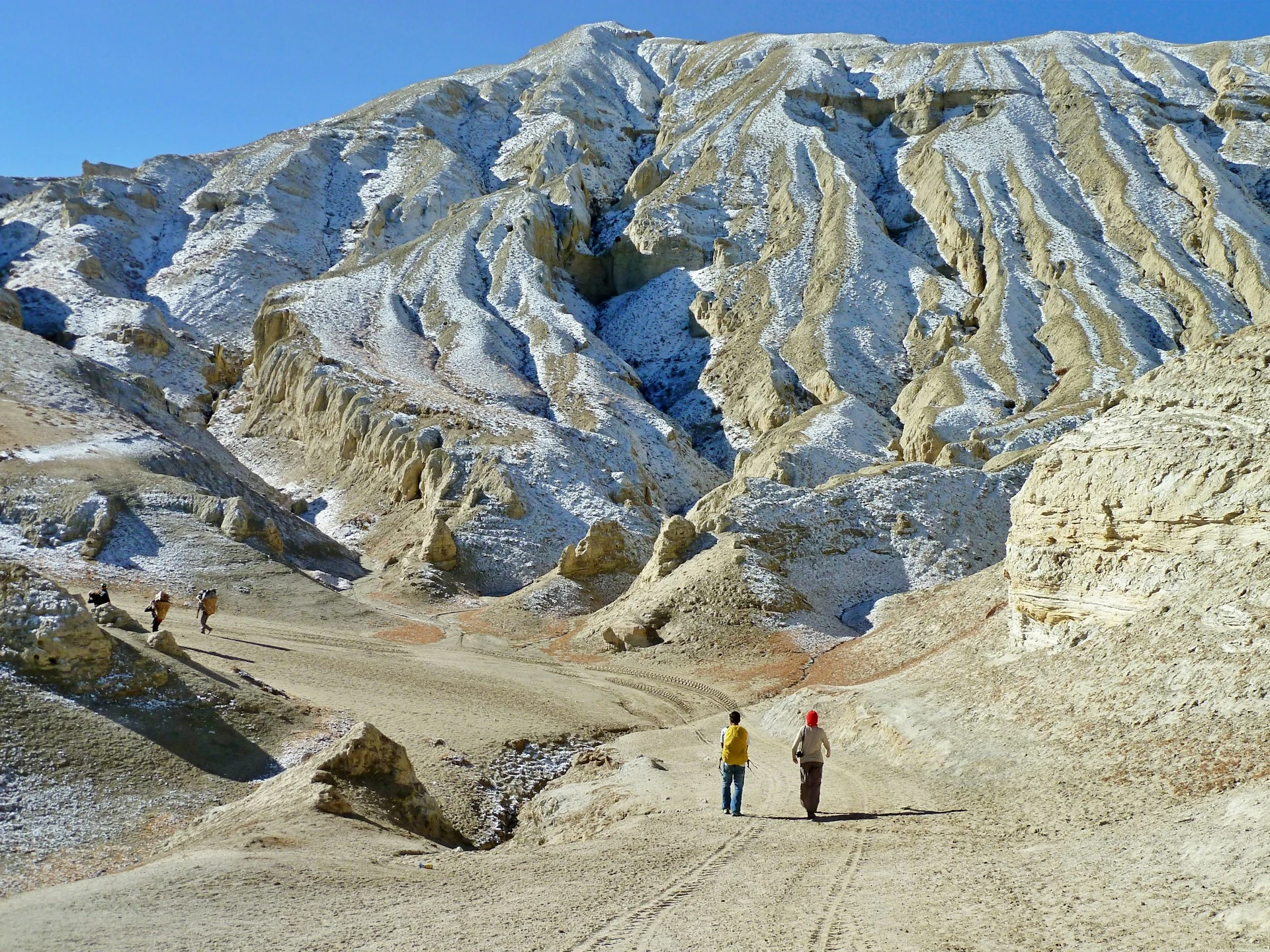
For residents this is straightforwardly good. A week to reach a trade centre became a day. For a visitor it is more complicated, because the trail and the road are often the same line on the ground.
In short, walking is still the better trip, but it is no longer the only one. The honest framing is a trade rather than a purity test.
| Walking | Driving | |
|---|---|---|
| Time inside the zone | Eight to twelve days | Three to four days |
| Permit cost | Runs for every one of those days | Far shorter exposure |
| What you get | Arrival earned slowly, villages between the villages | Lo Manthang itself, with time to sit in it |
| What you accept | Sharing sections with vehicles and dust | Seeing the country through glass |
There is a third option that most itineraries miss. Drive the dusty sections, walk the ones that still hold, and use the saved days inside Lo Manthang rather than on the approach. That is usually the best version for anyone with less than two weeks.
In short, the rain shadow inverts the Nepali calendar. The Himalaya take the monsoon before it reaches the valley, so the Nepal Tourism Board lists Mustang as one of the few regions in Nepal fit for trekking even during the monsoon.
Winter is the season to avoid. The Board advises against winter treks there, because it gets cold and it is always windy. Spring through autumn is the long usable window, and summer is genuinely open in a way it is nowhere else in Nepal. For how this sits against the rest of the country, see the best time to trek in Nepal.
Two things decide how an Upper Mustang trip feels, and neither appears on a permit.
The first is the Jomsom flight. It leaves Pokhara early because the wind funnels up the gorge and builds through the morning, and it is cancelled outright when the weather closes in. For example, a guest flying home from Kathmandu on a Sunday should be off the mountain by Friday, not Saturday. We build that buffer in rather than hoping.
The second is the dust. On the sections where trail and road share a line, a vehicle passing a walking group is unpleasant for several minutes afterwards. In our experience the guests who enjoy Upper Mustang most are the ones who decided in advance which days to walk and which to drive, rather than committing to walk everything and then resenting the traffic.
Upper Mustang asks for a fortnight if you walk it, a week if you drive the approach, a permit that charges by the day, and a government appointed official travelling with you. It does not ask for technical skill, and Lo Manthang is not a high pass.
Far Ridge Collective is a Nepali owned luxury tour operator in the Nepal travel industry, running private guided journeys in Mustang and the wider Himalaya, capped at five guests. Our Kingdom of Mustang journey covers Lower Mustang, based below Jomsom. Upper Mustang is arranged on enquiry, because the permit, the escort and the walking decision have to be settled before an itinerary means anything.
Permit figures and road facts were checked against the issuing bodies and The Kathmandu Post in September 2026. Fees and road conditions in Nepal change by notice rather than on a schedule, so confirm both before you file.
Yes, and you need two. Upper Mustang sits inside a restricted zone, so it requires a restricted area permit from the Department of Immigration. Everyone entering the Annapurna Conservation Area also needs the conservation permit, which applies across the whole district.
USD 50 or equivalent convertible currency per person per day, according to the Nepal Tourism Board. It runs for every day you are inside the restricted zone, so the length of the itinerary and the permit cost move together. The conservation permit is separate, at NRs 3,000 for foreign nationals.
No. The Nepal Tourism Board states that a government appointed official must accompany you. The restricted permit is also not something a traveller files alone, so the arrangements start well before the trailhead.
Yes. The Kali Gandaki corridor runs 445 kilometres from Nawalpur to Korala on the Chinese border, through Mustang. The Kathmandu Post reported in May 2025 that Lo Manthang to Pokhara, once six days on foot, is now one day by vehicle.
North of Kagbeni. The boundary is legal rather than geographic, drawn at ward level across three rural municipalities. Jomsom, Marpha and Muktinath all sit south of it, in ordinary conservation area, and need no restricted permit.
Eight to twelve days inside the zone if you walk it, and three to four if you drive the approach. The Nepal Tourism Board puts the walk to Lo Manthang at four days minimum from the roadhead, and advises one more day there. Add the return and a weather buffer for the Jomsom flight.
Spring through autumn, and the monsoon is genuinely usable. Mustang sits in the Himalayan rain shadow, so the Nepal Tourism Board lists it among the few regions in Nepal fit for trekking during the monsoon. Winter is the one to avoid, on account of cold and wind.
Yes, though the reason has changed. It is no longer about reaching somewhere unreachable, because a vehicle can. It is about Lo Manthang itself, a walled capital that was closed to outsiders until 1994, and about choosing which sections to walk rather than walking everything by default.
Send us your questions about routes, costs or the best time to go — our travel experts in Nepal reply within 24 hours.

Mustang is a district in north central Nepal. It was a kingdom in its own right until 1950, and it is split in two by law. Lower Mustang is open.…
What you need to walk in Nepal's protected areas, what it costs, and who issues it. All figures from the issuing bodies.