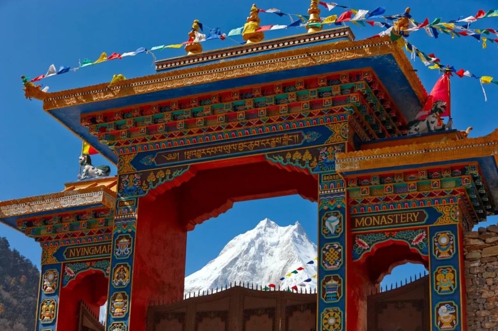
Nepal Luxury Tour and Trekking: What It Actually Means
Nepal receives more visitors than ever, yet daily spend sits near a record low. Here is what luxury trekking in Nepal should actually mean.

 Ankit Mishra
Updated on
Ankit Mishra
Updated on
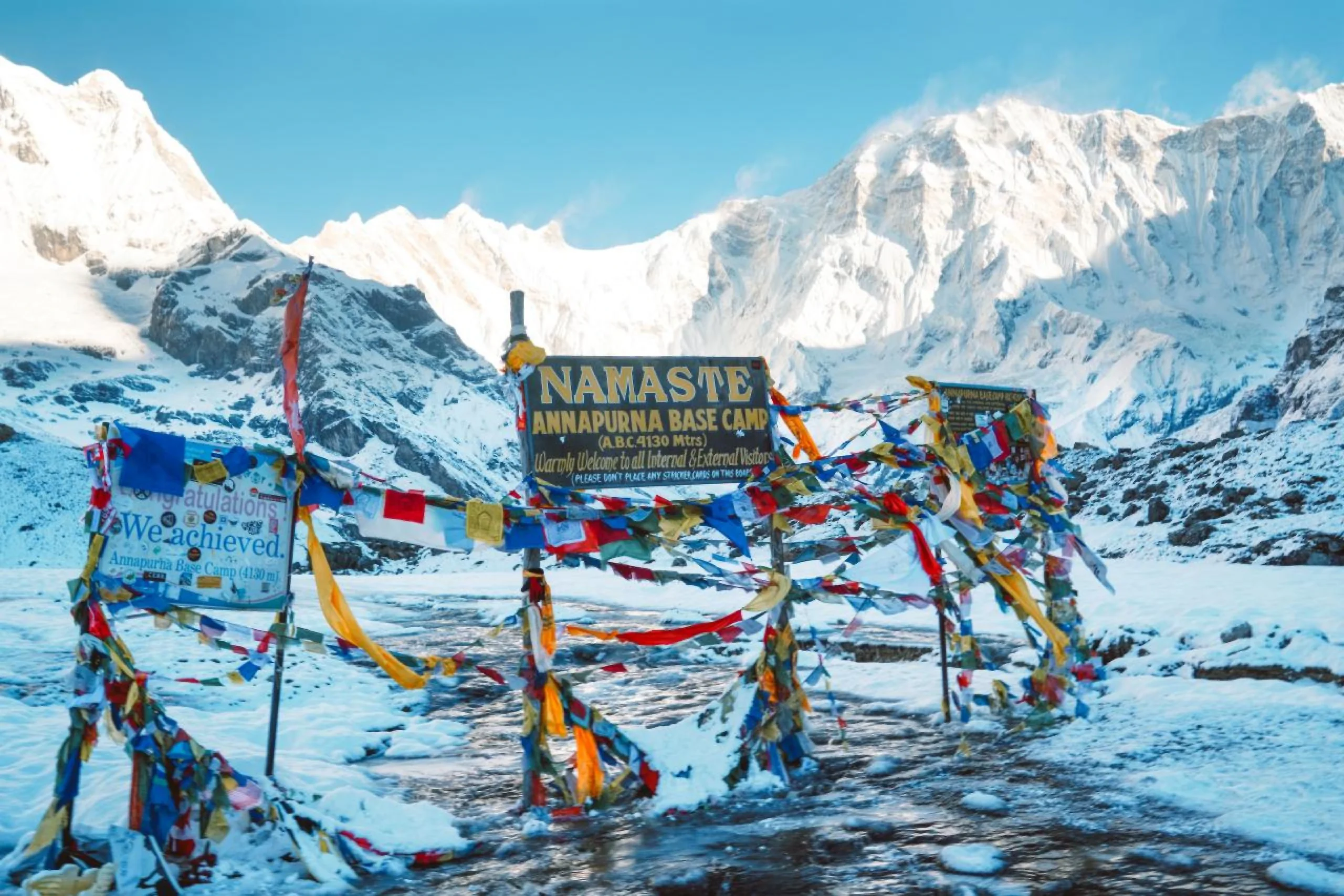
The Annapurna Base Camp altitude is the first thing most people check. Annapurna Base Camp sits at 4,130m above sea level, which is just over 13,550 feet. The Kathmandu Post also places the site in ward 11 of Annapurna Rural Municipality, in Kaski district. That height is enough for altitude to matter, so pacing becomes the main safety decision. It is also low enough that a well paced walk keeps most healthy people comfortable.
The number on its own tells you very little, though. What matters is how fast you reach it, and a Nepali hospital study has put a figure on exactly that.
The elevation is 4,130m, or roughly 13,550 feet. Directly above the Sanctuary stands Annapurna I at 8,091m, so almost four vertical kilometres of mountain sit above the place you stand. Machhapuchhre Base Camp is the last settlement below it, so most walkers reach both on the same morning.
For context, the Nepal Tourism Board gives Kala Patthar, the viewpoint above Gorak Shep in the Everest region, a summit height of 5,545m. Annapurna Base Camp, however, sits well below that. Trekkers who have spent months reading about the Khumbu sometimes arrive in the Sanctuary braced for the same thin air and the same slow, deliberate breathing, and the experience is genuinely different, which is worth knowing before you decide between the two.
A route profile is more useful than a single number, because the shape of the ascent is what your body responds to. Our guide to the Annapurna Base Camp trek sets out the route and the timing in full. Our own Annapurna route therefore runs like this.
| Place | Altitude | What happens there |
|---|---|---|
| Kathmandu | 1,350m | Two nights before anything begins |
| Chhomrong | 2,170m | A ridge village, and the first real height gain |
| Himalaya Hotel area | 2,900m | The valley narrows and the walls close in |
| Annapurna Base Camp | 4,130m | The high point of the journey |
| Bamboo | 2,310m | The descent begins, harder on the knees than the lungs |
| Jhinu Danda | 1,780m | Hot springs below the village |
Notice that the gain from Chhomrong to Base Camp happens over several days rather than one, and that the highest night of the trip is also the last one before you turn around and start losing height again. That spacing is the whole point, because it is what keeps the ascent inside a safe rate. The reason for it is set out below.
Researchers reviewed a full year of emergency ward admissions for altitude illness at the hospital in Jomsom, which sits at 2,743m in Mustang. The data covered 15 June 2018 to 15 June 2019.
Their headline result: for a non smoking man aged between 31 and 60 travelling from Pokhara to Muktinath, a gain of 2,978m, doing it in a single day carried 2.069 times the odds of moderate or severe acute mountain sickness compared with taking three days. The study is published in full on PubMed Central.
Same route. Same person. Twice the risk, purely from pace.
That is a Nepal specific, peer reviewed finding, and it is far more useful than general advice about drinking water. It says that the calendar is the safety equipment.
Clinicians commonly use the Lake Louise scoring system. In the Jomsom study the thresholds were a score of 3 to 5 for mild acute mountain sickness, 6 to 9 for moderate, and 10 to 12 for severe.
Scores come from self reported symptoms: headache, nausea, fatigue, dizziness and difficulty sleeping. Because it relies on honest reporting, a guide who knows what to ask matters as much as the scale itself. People understate how they feel when they have paid for a trip and do not want to be the reason it stops.
Mild altitude sickness usually announces itself as a headache that does not shift with water, plus poor sleep and no appetite. Most people who ascend sensibly feel some of this and carry on without trouble.
The serious forms are different. High altitude pulmonary oedema involves fluid in the lungs, with breathlessness at rest and a persistent cough. High altitude cerebral oedema affects the brain, showing as confusion or loss of coordination. Both are emergencies. Both require descent immediately rather than a wait and see approach.
The Himalayan Rescue Association, founded in 1973 to prevent and study high altitude illness in the Nepal Himalaya, has spent five decades on this problem. Its guidance returns consistently to two things: gradual ascent, and prompt descent when symptoms appear.
At 4,130m the altitude itself is manageable for most people in reasonable health, provided the ascent is spread across several days. It is materially lower than the high points of the Everest routes, which is why it is often the gentler introduction to Himalayan walking. We compare the two directly in Annapurna or Everest Base Camp.
The honest caveats are worth stating. Weather closes in quickly in the upper Sanctuary, the valley is avalanche prone in certain conditions, and the descent back down through Bamboo and Chhomrong is long enough that tired legs, rather than thin air, become the thing most likely to cause an injury on the way home. None of that makes the route reckless. It does mean the decision to walk on a given morning should belong to someone who reads that particular mountain for a living, and who has no commercial reason to press on when the conditions say otherwise.
If you have a heart or respiratory condition, speak to your own doctor before committing. No operator can make that assessment for you, and any operator who offers to is telling you something about their judgement.
Fitness helps you enjoy the walk. It does not protect you from altitude. Fit young people get sick regularly, often precisely because they climb faster than everyone else.
What protects you is time. Gaining height gradually lets the body adjust, which is why our Annapurna trek and wellness journey takes six trekking days to reach 4,130m rather than compressing it into four. The extra days are a safety feature before they are a comfort one.
Small groups help too, for a reason that is easy to miss. If one person needs to descend while the others continue, that decision is straightforward with a party of five and genuinely difficult with a party of fifteen.
Ask how many days the ascent takes, and why that number. A good operator explains the acclimatisation logic without being prompted.
Ask whether the guide is trained to recognise early symptoms, and what the descent plan looks like from the highest camp. Ask who makes the call to turn around, and whether that call has ever been made.
Then ask what happens to the rest of the group when it is. The answer tells you how much of the operation is actually under their control.
It sits at 4,130m above sea level, which is just over 13,550 feet.
Roughly 13,550 feet, converted from the 4,130m figure reported by The Kathmandu Post.
Yes, mild symptoms are common above 3,000m. Severity depends far more on how quickly you climbed than on how fit you are.
Six trekking days to reach 4,130m gives the body time to adjust. Faster profiles exist, and the Jomsom research shows what compressing an ascent does to the odds.
No. The Everest routes go considerably higher, with Kala Patthar recorded by the Nepal Tourism Board at 5,545m.
Cold enough that nights need proper layers, and the answer depends on the month you walk. Our guide to the best time to trek in Nepal sets out how the seasons behave.
No. Since 31 March 2023 a licensed guide has been mandatory in specified protected areas under the revised TIMS provision.
Send us your questions about routes, costs or the best time to go — our travel experts in Nepal reply within 24 hours.

Nepal receives more visitors than ever, yet daily spend sits near a record low. Here is what luxury trekking in Nepal should actually mean.
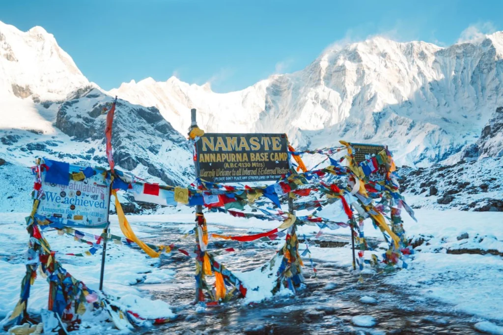
Annapurna Base Camp sits at 4,130m in a ring of peaks. What the trek involves, how long it takes and what it asks of you.